Teotihuacan
- Post By: Erik Jurado
- Date:
- Category: Case Studies, Mexico
- Tags: Archaeology, Drones, Teotihuacan

[fvplayer src=”http://project-map.org/wp-content/uploads/2018/06/street-of-the-dead.mp4″ splash=”http://project-map.org/wp-content/uploads/2018/06/DJI_0007.jpg” width=”1280″ height=”720″]
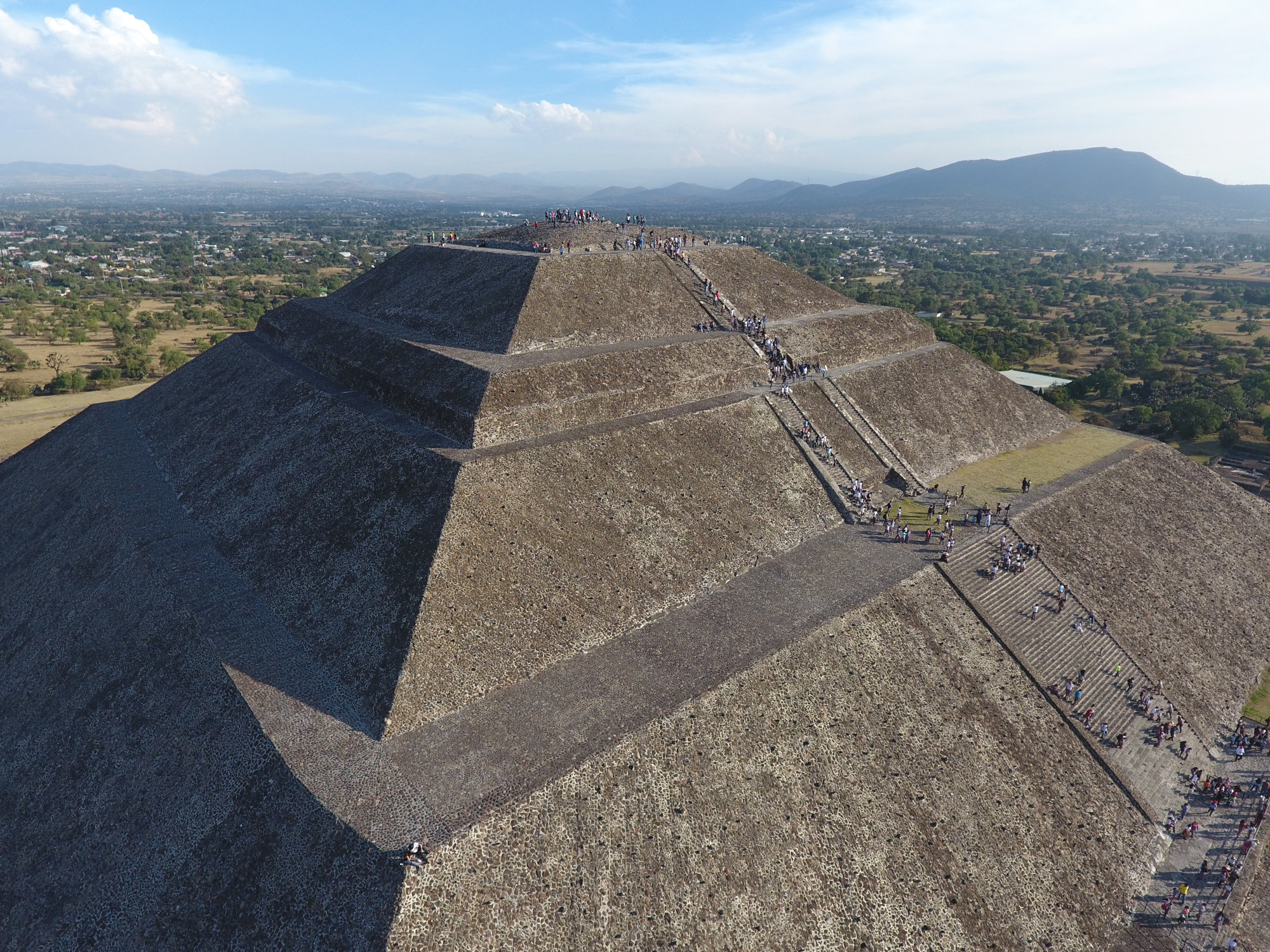
Teotihuacan was mapped in 2014 by Israel Hinojosa with a Phantom 2+ drone. It was mapped again in 2016 by Dr. Gutierrez with a Phantom 4 drone. In 2016, an area of approximately 300 hectares was mapped in 2 days and produced a volume estimate for the Teotihuacan site core of approximately 5.6 million cubic-meters. This speaks to the efficiency and utility of implementing drones in archaeological research for site mapping and conservation.
[Best_Wordpress_Gallery id=”15″ gal_title=”Teotihuacan”]