Cuicuilco
- Post By: Erik Jurado
- Date:
- Category: Case Studies, Mexico
- Tags: Archaeology, Cuicuilco, Drones

[fvplayer src=”http://project-map.org/wp-content/uploads/2018/06/CuicuisProy.mp4″ splash=”http://project-map.org/wp-content/uploads/2018/06/DJI00096.jpg” width=”1280″ height=”720″]
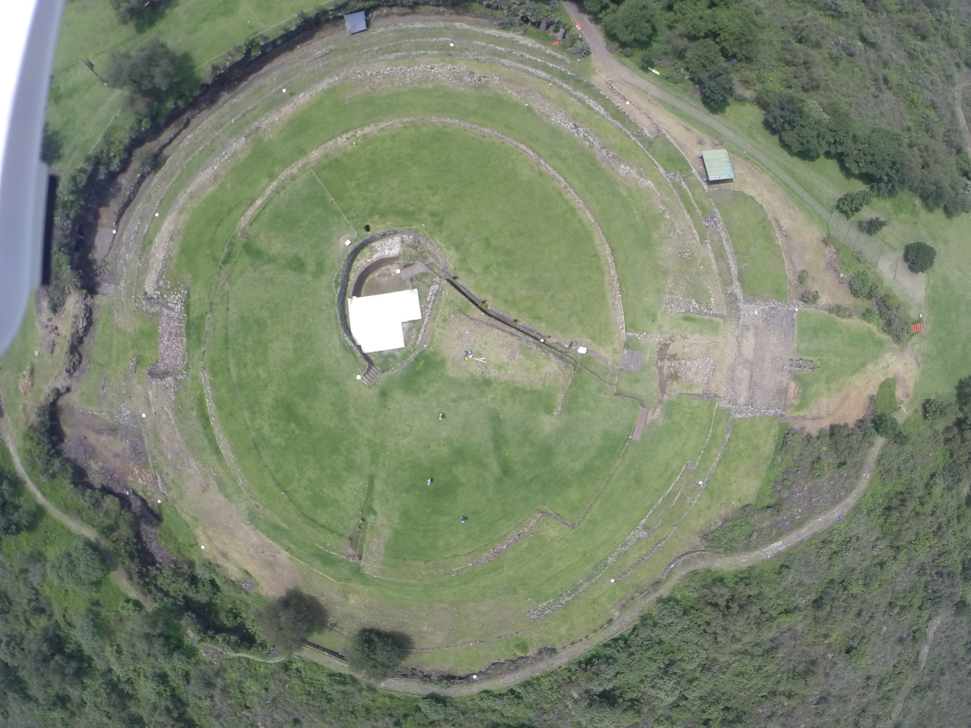
Cuicuilco was mapped in 2014 with a Phantom series drone and GoPro camera. Forty-five images were processed in 2014 to produce a 3D model of the principal mound. In 2016, 360 photos were captured with a Phantom 3 and processed to create the improved 3D models below. A main objective of the Cuicuilco mapping workshop was to explore straightforward and cost-effective ways of collecting topographic data.
[Best_Wordpress_Gallery id=”14″ gal_title=”Cuicuilco”]