Goals
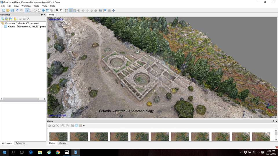
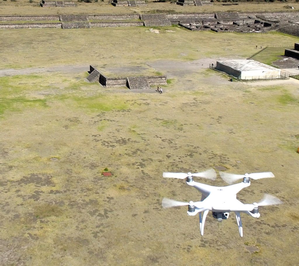
- To advance cultural heritage management and create records of key historical sites by utilizing a high-resolution LIDAR scanning system along with photogrammetry.
- To study both ancient ground structures and foliage to understand the behavior of and the use of landscape by early humans.
- To create a method of merging different data sources (LIDAR, photogrammetry, aerial, terrestrial, satellite) in order to advance our understanding of ancient life.
- To make archaeological data available to the broader public by transforming LIDAR and photogrammetry records into synthetic representations that can be explored through a mobile application (websites, apps, etc.).
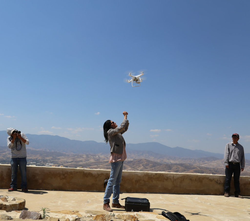
Beyond technical applications of the UAV platform, however, the primary goal of Project Map is to develop and streamline methodologies for efficient and ethical uses of drones in all fields of the Arts and Sciences. It looks for new questions social scientists can address that were impossible to attempt without the point of view provided by drones.
“One of my primary concerns is education,” Dr. Gutiérrez says. “Thanks to Project Map, I have been able to train more than 70 researchers in three countries on how to formulate research questions that can be answered by the use of new technologies. Once they define their questions, we figure out the best UAV platform and remote sensors for them, and design the most appropriate methodology to collect big data sets to test their hypotheses.”
Dr. Gutiérrez applies his drone-centered methodology to numerous questions in the social science, including Territorial Organization, Landscape and Urbanism; Ethnohistory; Disaster and Risk Reduction based on the anthropological study of vulnerability and risk; and Demography and Migrations.