Grand Challenge | University of Colorado Boulder

Project MAP

Home / Project / Project
 

Project

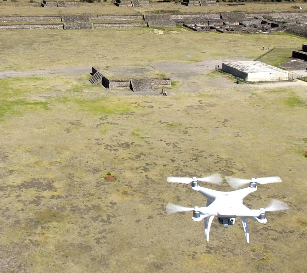
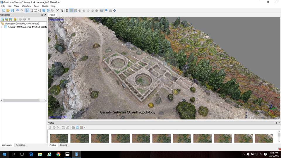
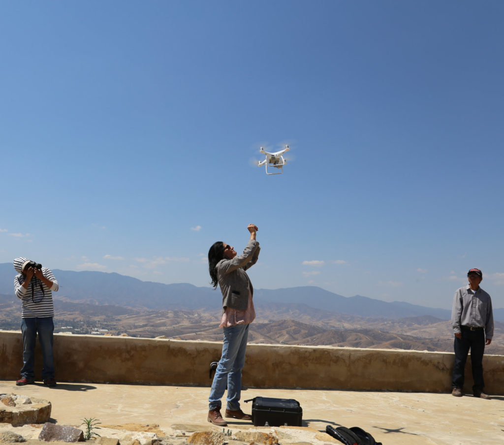
Project Map’s journey through the Grand Challenge started with designing and building drones that fit their needs and experimenting with different sensors to assess potential applications. In particular, because his mapping excursions often take place in isolated, difficult to access locations, Dr. Gutiérrez has promoted the acquisition of portable remote sensing instruments for novel uses.

Dr. Gerardo Gutiérrez, Associate Professor in the Department of Anthropology, is working with his lab to breach the divide between
What we have learned so far? Small civilian UAV technology has empowered archaeological research at all levels. It is used
To advance cultural heritage management and create records of key historical sites by utilizing a high-resolution LIDAR scanning system along