Project MAP
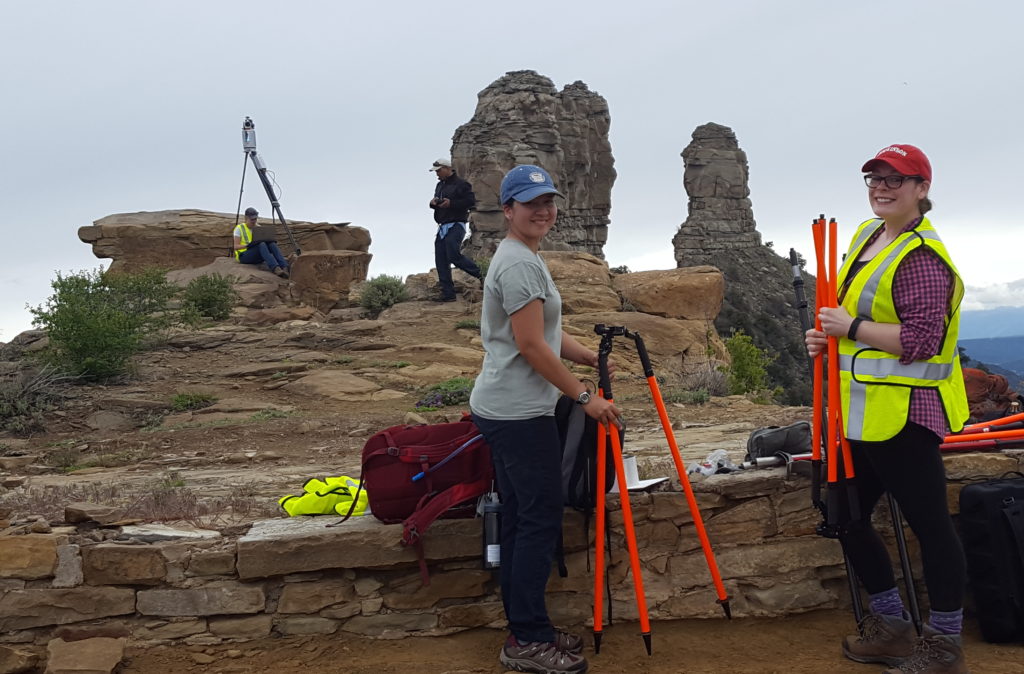
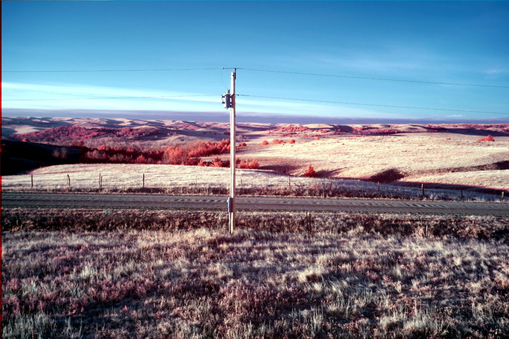
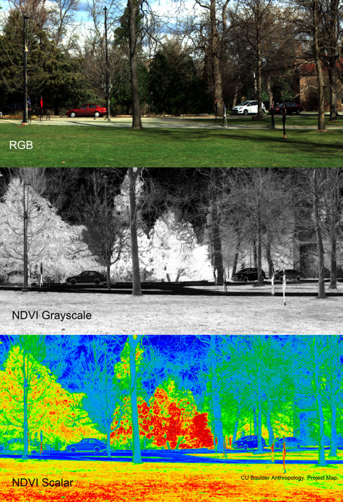
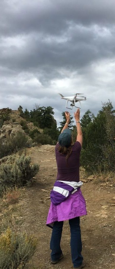
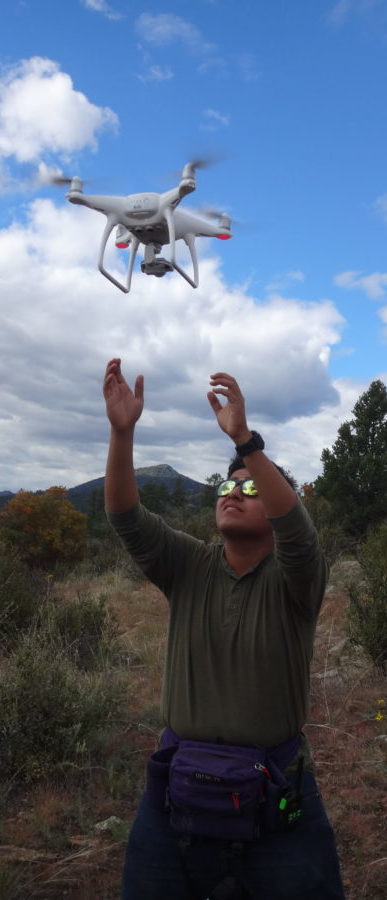
Project Map’s journey through the Grand Challenge started with designing and building drones that fit their needs and experimenting with different sensors to assess potential applications. In particular, because his mapping excursions often take place in isolated, difficult to access locations, Dr. Gutiérrez has promoted the acquisition of portable remote sensing instruments for novel uses.
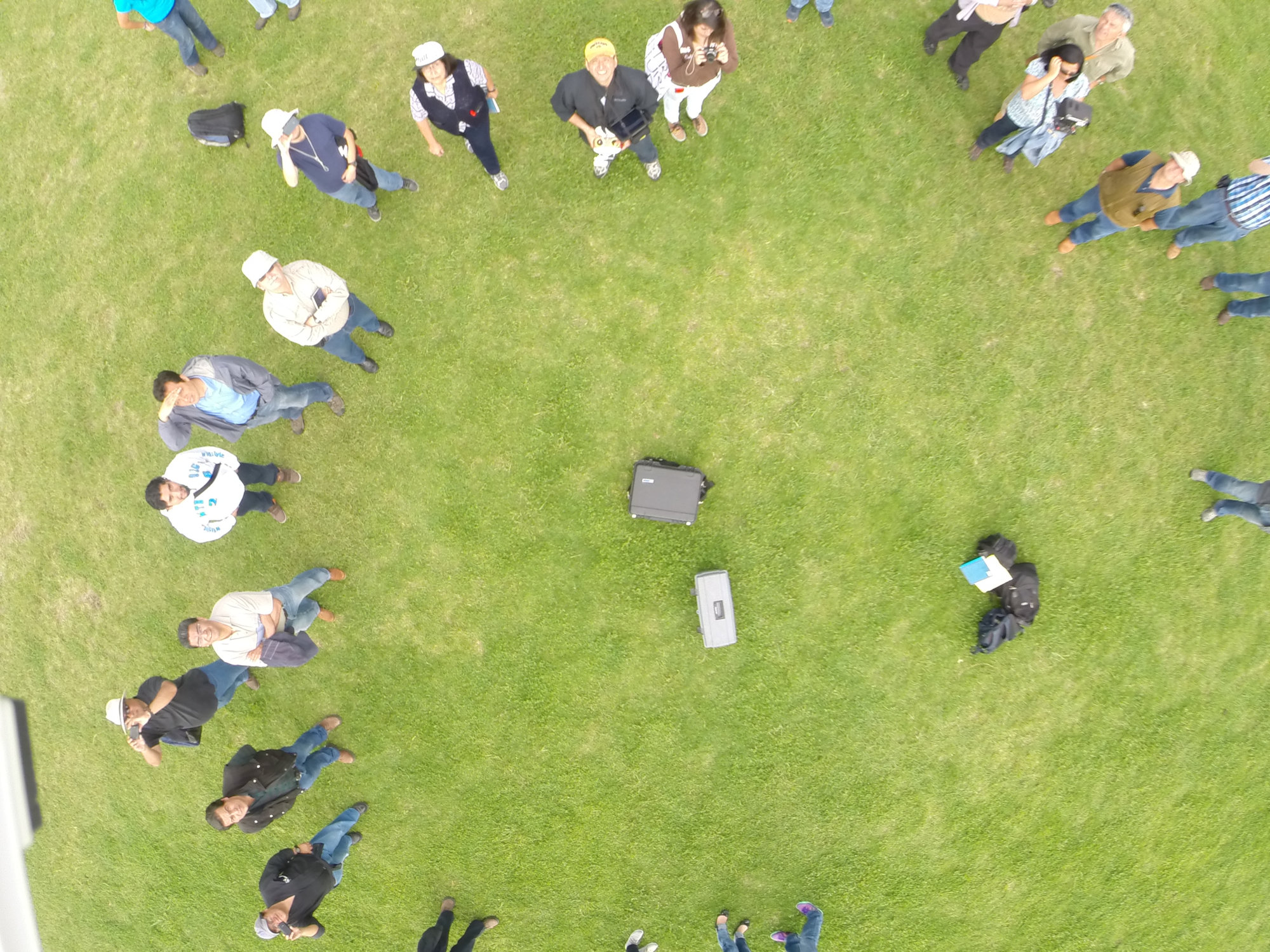
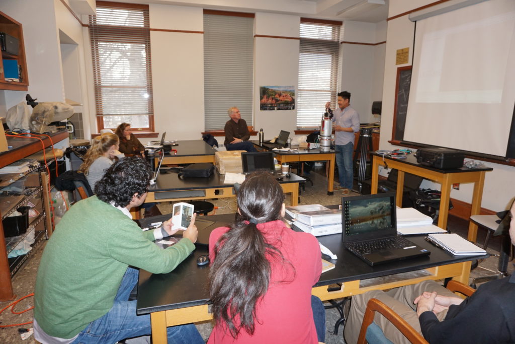
Beyond technical applications of the UAV platform, however, the primary goal of Project Map is to develop and streamline methodologies for efficient and ethical uses of drones in all fields of the Arts and Sciences. It looks for new questions social scientists can address that were impossible to attempt without the point of view provided by drones.
With the passing of time comes the natural and purposeful degradation of all human made structures and objects. As a result, cultural heritage management becomes important in order to document, share and learn from significant cultural assets, both physical and intangible.
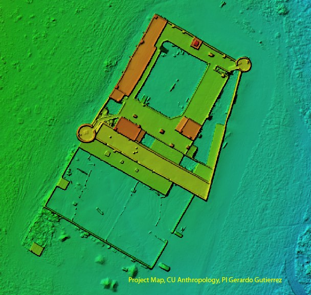
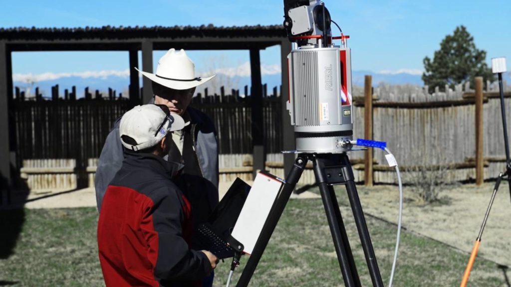
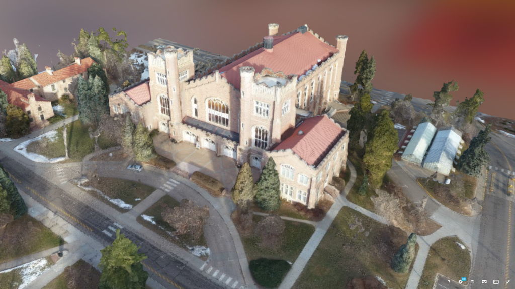
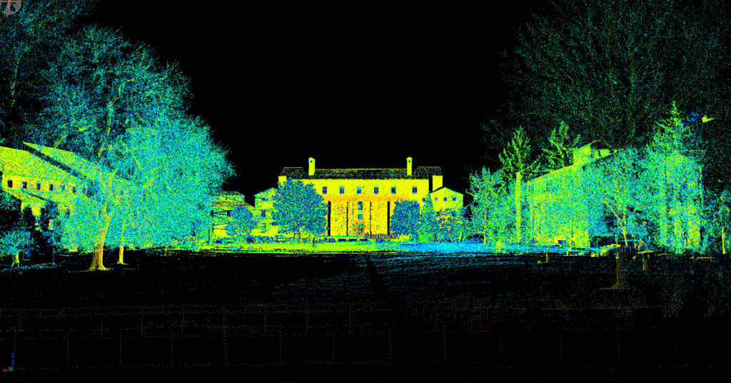
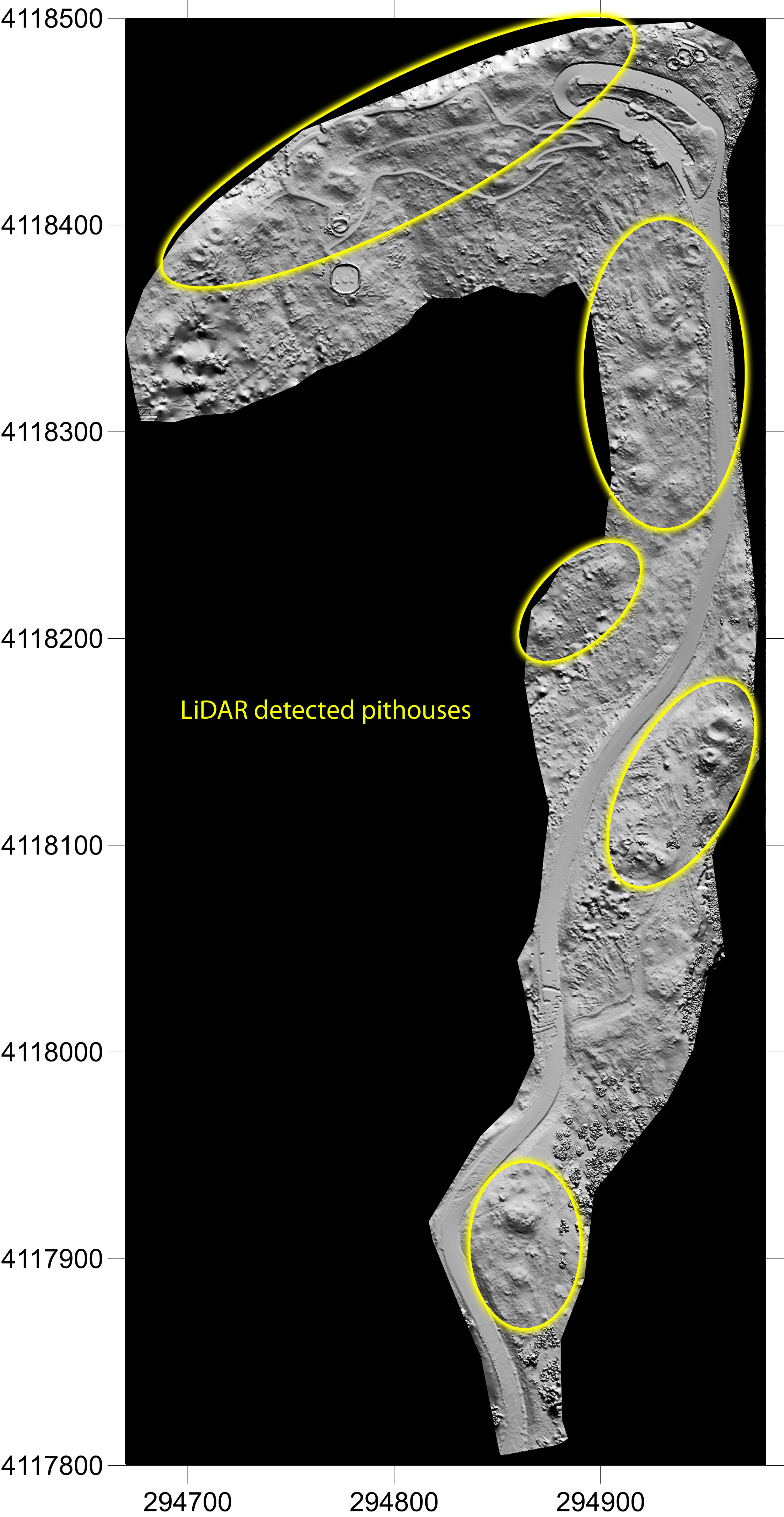
The use of laser mapping systems to create 3D documentation of archaeological sites has grown significantly in the past 5 years. Project MAP integrates terrestrial and mobile laser mapping (LIDAR) data with UAS photogrammetry data to create detailed images to document, study and share critical historical sites.
Copyright notice: Unless otherwise stated, all images, videos, and text included in this webpage are copyrighted © 2016-2018 Gerardo Gutiérrez. All rights reserved.
[custom-facebook-feed]