USA
- Post By: admin
- Date:
- Category: Case Studies, USA
- Certification of CU students & personnel in operation of terrestrial LiDAR RIEGL VMZ-400
- Tested LIDAR by mapping and modelling CU’s Norlin Library
- Project Map surveyed and modeled Fort Vasquez as part of the training for CU students.
- Project Map tested both LIDAR and UAV photogrammetry and remote sensing in Chimney Rock to demonstrate their capabilities for recording the historical heritage of Colorado.
- Project Map used both LIDAR and UAV photogrammetry and remote sensing at Bent’s Old Fort for recording the historical heritage of Colorado.
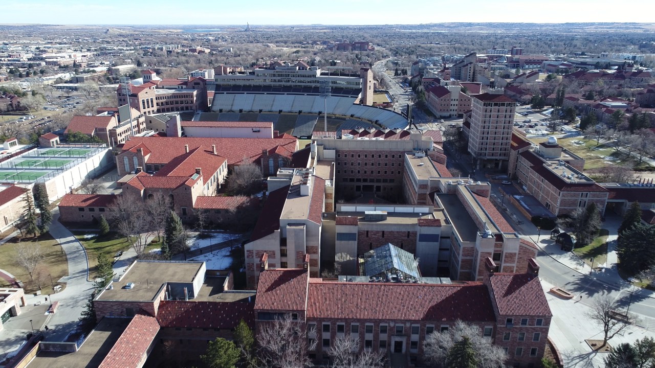
- Mobile-mounted LIDAR for full campus mapping to keep training new students
The project reached the local news!
[fvplayer src=”https://youtu.be/qxOBKS0hxK8?t=9s” splash=”http://project-map.org/wp-content/uploads/2016/06/Screenshot-from-2018-06-21-02-55-28.jpg”]
Researchers create a virtual version of Chimney Rock in S.W. Colorado
By Mary Shinn City & health reporter