LIDAR
- Post By: admin
- Date:
- Category: Instruments
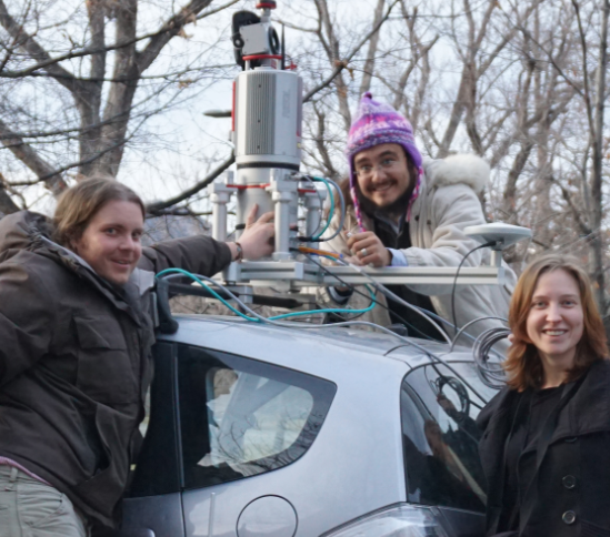
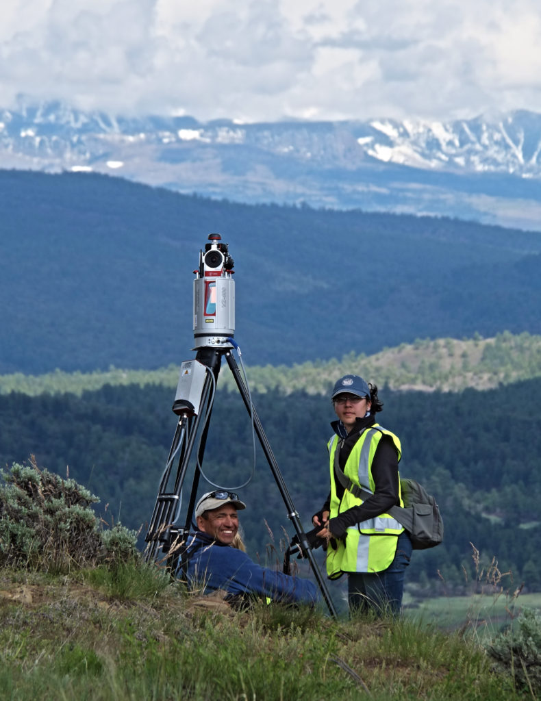
Satellite imagery and UAV vertical photography can be used to visualize features from above, “a bird’s eye view”, however, this information cannot grasp the complexity of the faces of vertical features for these need an oblique angle to be recorded. We use terrestrial LiDAR as a tool to fill this gap. LIDAR (“Light Detection And Ranging”, or “Laser Imaging, Detection And Ranging”), is a laser (Light Amplification by Stimulated Emission of Radiation) technology that measures the lineal distance from the light source to an object that can reflect it (Hinojosa-Balino 2014; Collis 1965). Archaeologists have used this technology to study archaeological sites; either to discover them or to generate an accurate 3D reconstruction of a facade. Project MAP has conducted a series of surveys in several places to record archaeological sites in a relatively short time and accurately with a RIEGL VZ-400 3D Terrestrial Laser Scanner.
[fvplayer src=”https://www.youtube.com/watch?v=qxOBKS0hxK8″ width=”90%”]
Collis, Ronald T. H. (1965) “Lidar observation of cloud” In: Science, New Series, (149) 3687, 27 August. Pp. 978-981
Durango TV (2016) “Chimney Rock Time Machine” In: Durango TV News – May 26, 2016 YouTube Channel.
Hinojosa-Balino, I (2014) “Los estados anacreónticos y el lidar. El caso de Tajín” In: Revista Textos ArKeopáticos 08 (Summer 2014).
.