Learning outcomes
What we have learned so far?
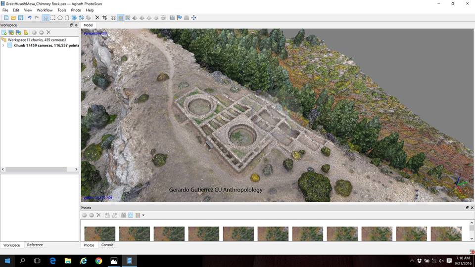
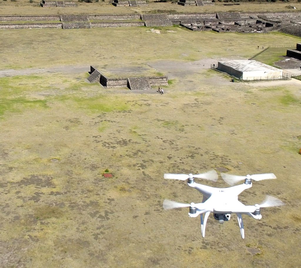
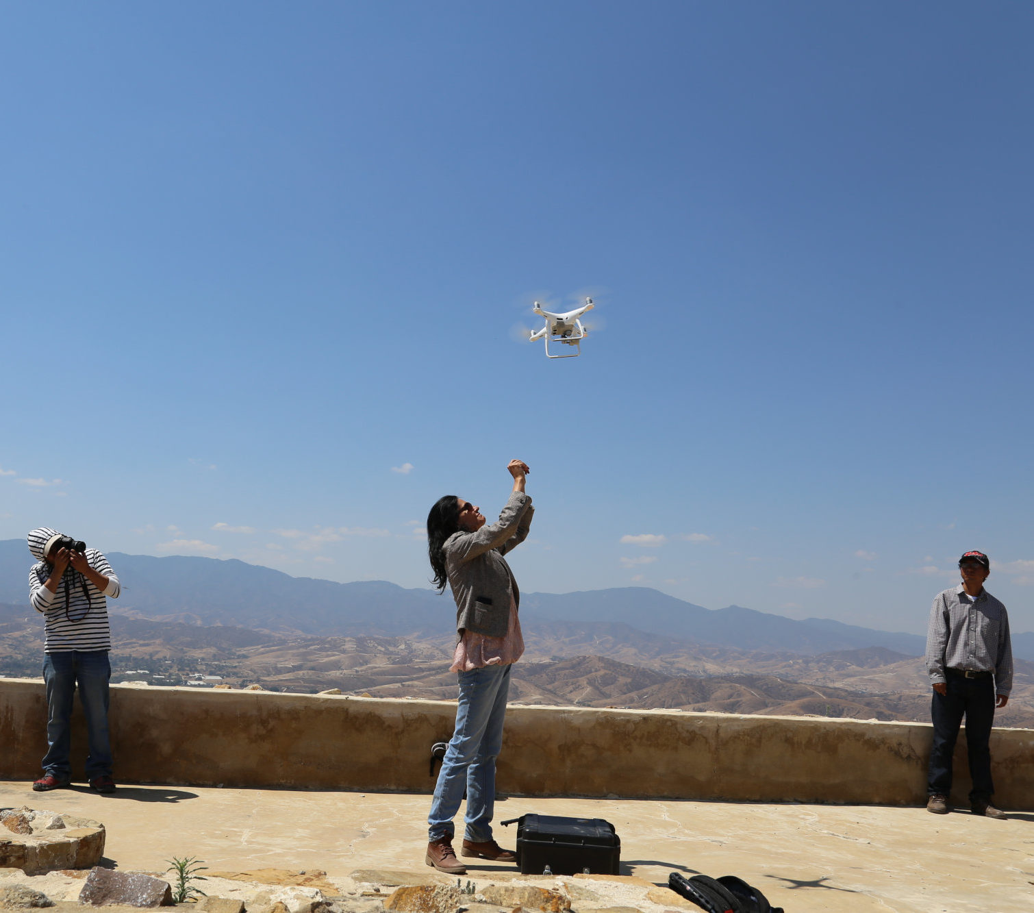
- Small civilian UAV technology has empowered archaeological research at all levels. It is used to obtain information in real time at relatively low costs; with platforms that allow you to observe from just a few square meters up to several kilometers
- Small civilian UAV technology combined with remote sensors capable of recording electromagnetic frequencies different from the Visible Light (e.g. Ultraviolet A (long-wave) or Near Infrared (NIR)); allows us to extend our knowledge of the vegetative and geomorphological processes, associated to the presence of archaeological sites.
Small civilian UAVs allow us to update and improve satellite information, LIDAR datasets or survey maps in real time - The use of small civilian UAVs has been limited by legal restrictions, which in some cases are obsolete.
- A significant limitation continues to be the communication interface between the drone and the computer systems and controls. Technological bottlenecks still exist and are the principal cause of failures.
- Hardware miniaturization processes need to continue. The practicality of small civilian UAVs is precisely related to their size, weight, simplicity and low cost. Larger drones are more expensive, bulkier, and more complicated.
- Small civilian UAV technology should be available to all research disciplines. No field should monopolize it.