UCB Library
- Post By: admin
- Date:
- Category: Case Studies, UCB Campus, USA
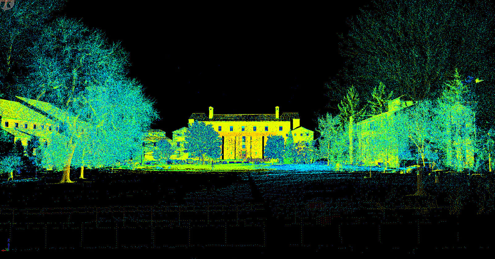
In 1980 the Norlin Quadrangle was listed on the National Register of Historic Places. The quad comprises twelve historic buildings dating from the late nineteenth and early twentieth centuries, including the Norlin Library, Old Main, and the Hale Science Building (home of the Project Map anthropology/archaeology team!).
The Norlin Library and Quadrangle of the University of Colorado at Boulder was the first structure to be mapped as part of Project Map with the use of LiDAR. The project itself, which covered both the exterior and interior of the historic building, took approximately three months to complete during the university’s Spring 2016 semester. Mapping of the Quad continues in the Fall 2016 semester.
- Tested LIDAR by mapping and modelling CU’s Norlin Library.
- Certification of CU students & personnel in operation of terrestrial LiDAR RIEGL VMZ-400
[Best_Wordpress_Gallery id=”5″ gal_title=”UCB Library”]