Lynch
- Post By: admin
- Date:
- Category: Case Studies, USA
[Best_Wordpress_Gallery id=”8″ gal_title=”Nebraska”]
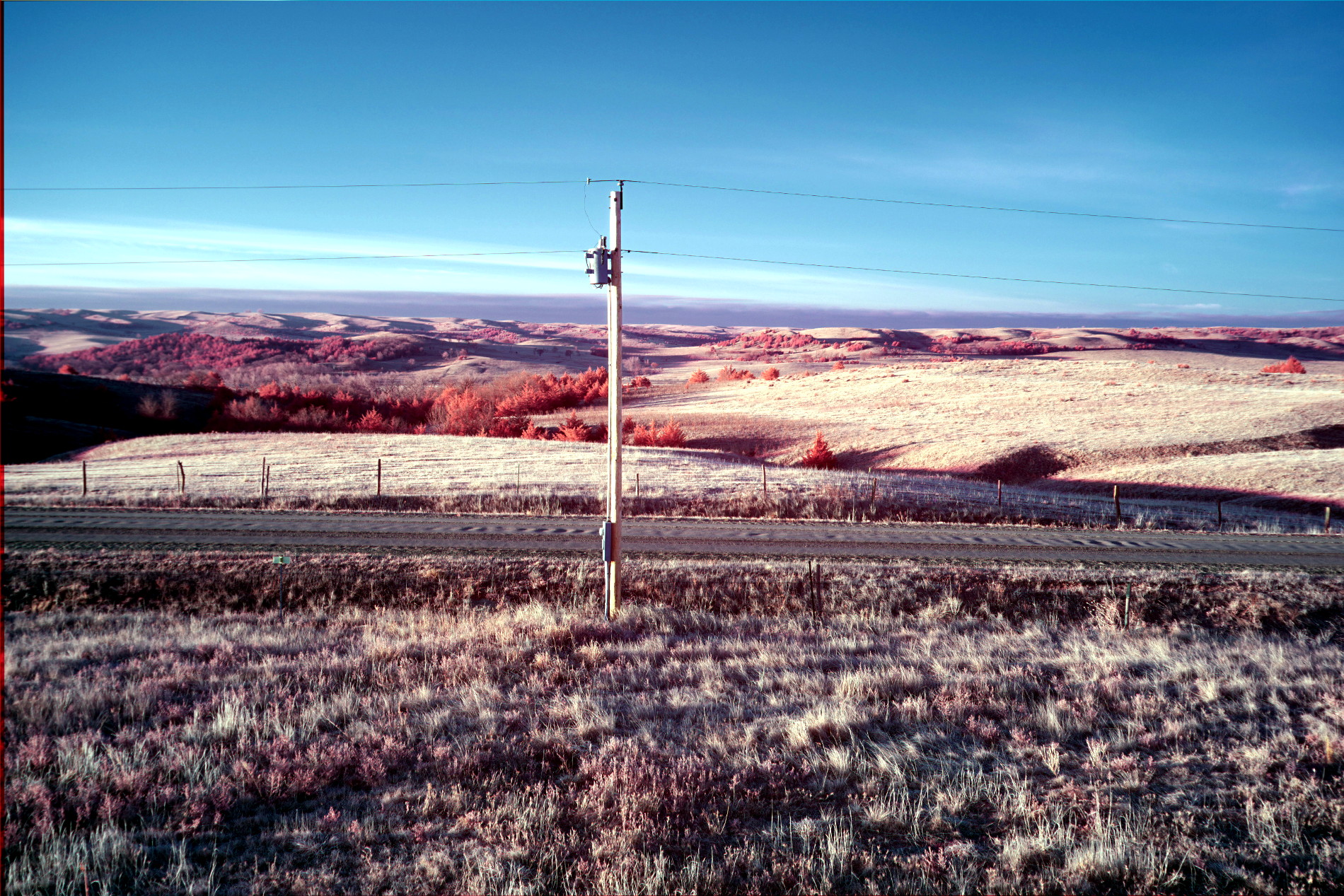
Archaeological prospection in Lynch, Nebraska, with the terrestrial LiDAR and an 18 sensor magnetometer. It is possible to survey 100 hectares per day with both instruments. This site emerged after the fall of Cahokia in the upper basin of the Missouri River. This study was done in collaboration with the U.S. National Park Service.
[Best_Wordpress_Gallery id=”9″ gal_title=”Nebraska2″]